Tailored geospatial solutions for infrastructure projects
Geoimage offers advanced geospatial solutions for infrastructure projects, integrating with existing systems or building new web-based platforms, providing guaranteed value addition.
Enhancing infrastructure management
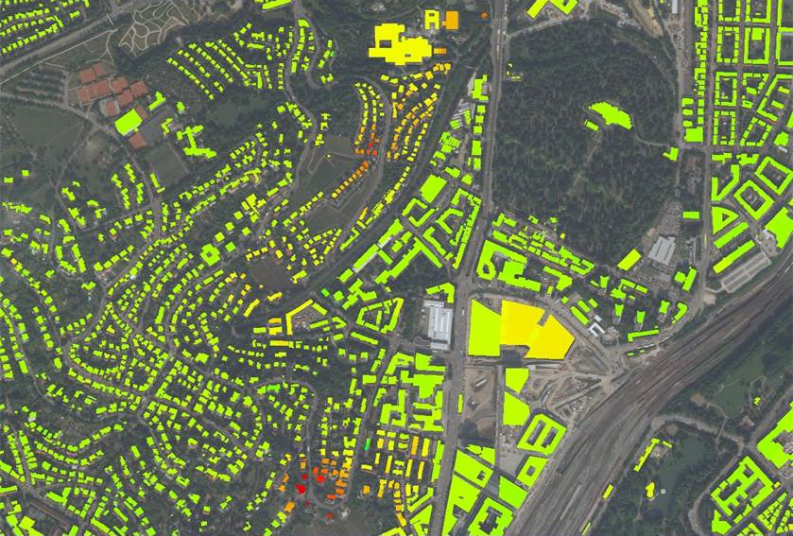
Leveraging high-resolution satellite imagery and remote sensing technology, Geoimage can assist in accurately detecting and assessing ground shifts, subsidence, and other surface movement phenomena. These insights enable infrastructure agencies to proactively manage potential risks, ensure the stability of structures, and make informed decisions for maintenance and repair operations.
By providing real-time and historical data on surface changes, Geoimage empowers infrastructure agencies to enhance safety, optimise resource allocation, and maintain the integrity of critical assets efficiently.
Elevating infrastructure projects
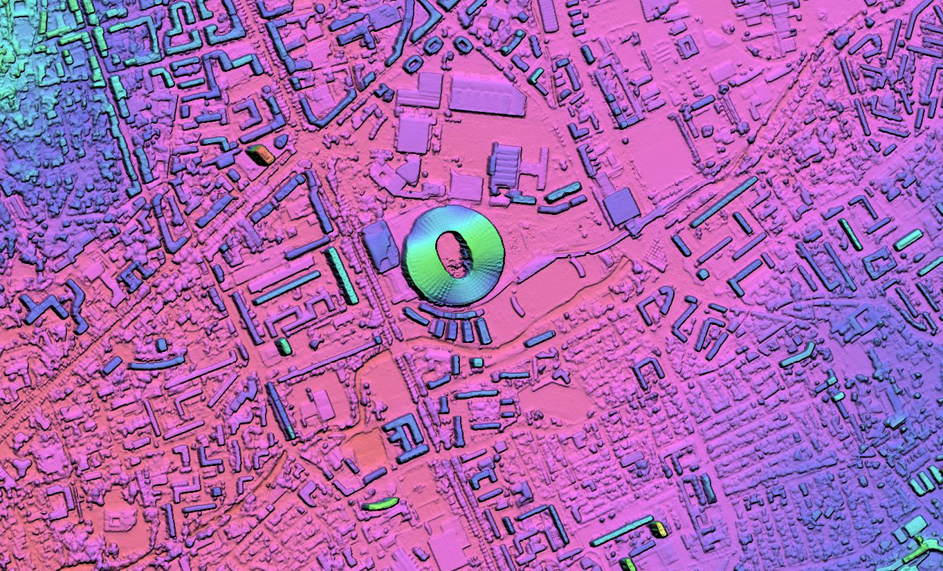
Digital Elevation Models (DEMs) provide precise elevation information, enabling informed decisions in site selection, engineering design, earthwork planning, and flood risk assessment. By facilitating accurate 3D visualisations, optimising alignments, and aiding geotechnical analysis, DEMs can streamline project management.
From initial planning to construction monitoring and post-project asset management, DEMs enhance efficiency, reduce costs, and ensure the integrity of infrastructure endeavours.
We offer a range of solutions
Our team of experts provides professional and independent advice on the acquisition and use of satellite imagery. Let us assist you in achieving your objectives with our tailored services.
InSAR
InSAR is employed for highly accurate measurement of ground displacements on the Earth's surface.
Learn moreSpectral analysis
Leverage our suite of spectral analysis tools to make well-informed decisions.
Learn moreDigital Elevation Models
Crucial for geospatial analysis, DEMs describe the 3D surface and enable orthorectification of imagery.
Learn moregroundWATCH
Our web-based dashboard for secure visualisation on enterprise GIS platforms.
Learn moreOur clients
We pride ourselves with working with the best in the industry.


