Satellite image classification: Revealing Earth's features through pixel categorisation
Classification refers to the process of categorising or grouping pixels within an image into distinct classes or categories based on their spectral characteristics and spatial patterns. This technique is commonly used to extract valuable information from satellite images, such as land cover, land use, natural features, and human-made structures.
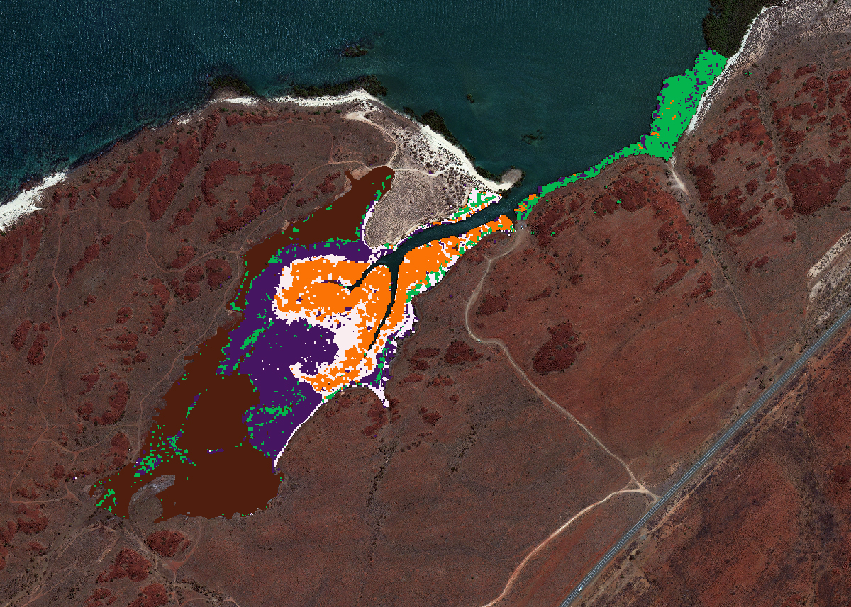
Satellite imagery classification involves assigning each pixel in an image to a specific class, such as water bodies, forests, urban areas, agricultural fields, and more. This helps in creating thematic maps that provide insights into various aspects of the Earth's surface and its changes over time.
Machine Learning
At Geoimage, we use Machine Learning (ML) to classify features within imagery. We are adept as using both pixel-based and object-based ML approaches understanding the benefits and limitations of those methods. With years of experience, our team can ensure the most accurate classification results are achieved and we are constantly refining and improving our methods. We also know that ML will not provide 100% accuracy which is why we include human quality control as part of our overall process.
Revealing insights and informing decisions
Geoimage's solutions have the capability to analyse and interpret satellite images for a diverse array of uses, which encompass:

Land cover mapping
Classification can be used to generate accurate maps depicting different land cover types, such as forests, grasslands, and urban areas. These maps can be useful for environmental monitoring, resource management, and urban planning.

Agricultural
Classification helps in assessing crop health, identifying crop types, and monitoring changes. This information can aid in optimising farming practices and predicting yields.

Natural resource management
It can be used to monitor changes in natural resources like forests, water bodies, and minerals, supporting conservation and sustainable management efforts.

Disaster management
Classification can help in assessing the extent of damage caused by natural disasters, such as floods and bushfires, enabling rapid response and recovery efforts.

Infrastructure
Satellite imagery classification can contribute to planning transportation networks, locating potential sites for infrastructure projects, and analysing transportation patterns.

Environmental monitoring
Classification assists in monitoring environmental changes, such as deforestation, urban encroachment, and pollution levels, providing valuable data for policy-making and enforcement.