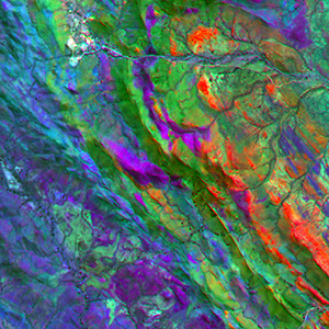
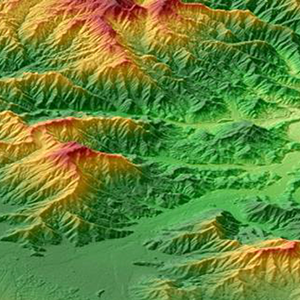
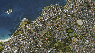
Applied Spatial Intelligence
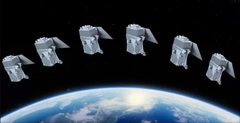
Since 1988, Geoimage has been at the forefront of the satellite imagery and geospatial industry, making us the leading specialists in this field. With exclusive access to the latest satellite technology, we pride ourselves on providing top-notch solutions and services.
Why choose Geoimage? Get in contact