Exploring the potential of satellite imagery: Geoimage's innovative solutions
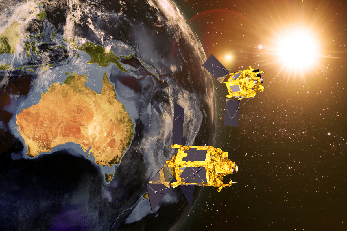
Satellite imagery serves as a crucial tool for visualising ground conditions and landscapes, primarily employed to monitor both human activities and natural processes worldwide. Its remarkable advantage lies in its scalability, enabling the capture of intricate details of streets and buildings as well as entire hemispheres. This exceptional capability has propelled its widespread utilisation across diverse industries. Improved satellite imagery is particularly valuable to clients seeking unaltered access to geospatial data.
Hence, at Geoimage, we specialise in delivering enhanced data to clients spanning various sectors, made possible through our partnerships with satellite providers. As a leading provider of satellite imagery, both in Australia and globally, we are poised to assist you in obtaining the imagery essential for your business needs.
Access high-resolution satellite imagery for your industry
Satellite imagery has completely transformed various industries. Let’s take a closer look at how.
Mining and Exploration
Satellite imagery is vital for mining: aids logistics, safety, topography, and ongoing assurance, optimising transport, monitoring, and project continuity.
Learn moreGovernment
Satellite imagery aids governments with large-scale state mosaics for urban planning, resource management, disaster response, and border surveillance.
Learn moreInfrastructure
High-resolution satellite imagery is pivotal for planning and evaluating infrastructure projects, allowing real-time monitoring and long-term maintenance assessment.
Learn moreEnvironmental
High-resolution imagery can help classify species, monitor vegetation, gather vital data for environmental protection, and enhance disaster prediction readiness.
Learn moreChoosing between archive and fresh capture imagery
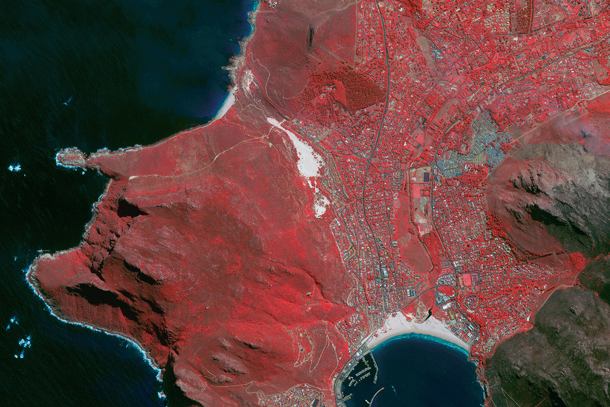
In the world of satellite imaging, the term "Archive" refers to a collection of images that have been methodically taken and maintained in historical databases. These visual records serve two functions: they aid in continuing monitoring efforts and allow for precise comparisons with previous images or datasets.
In contrast, "Fresh Capture" refers to the deliberate tasking of a satellite to capture an up-to-date imagery of a specific Area of Interest (AOI). This method is often more expensive than using historical images since it requires the satellite to be precisely aligned with the requested AOI. The option to employ historical imagery or a new capture is influenced by the user's specific requirements as well as the cost limits they face.
We are licenced resellers for the following providers


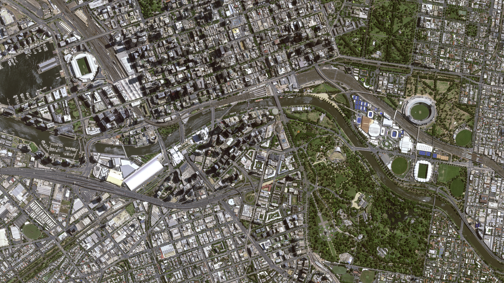
Pléiades Neo - Melbourne, Australia
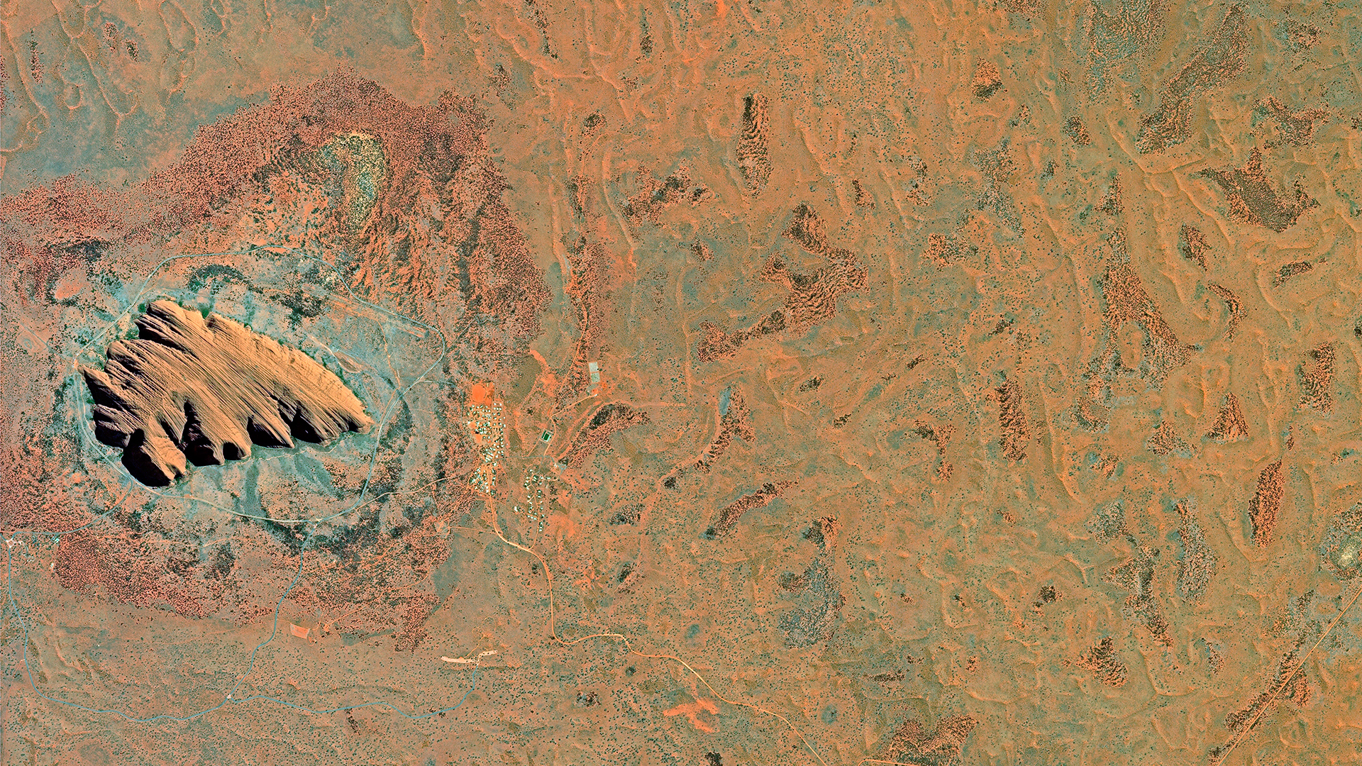
SPOT 6 - Uluru (Ayers Rock), Australia
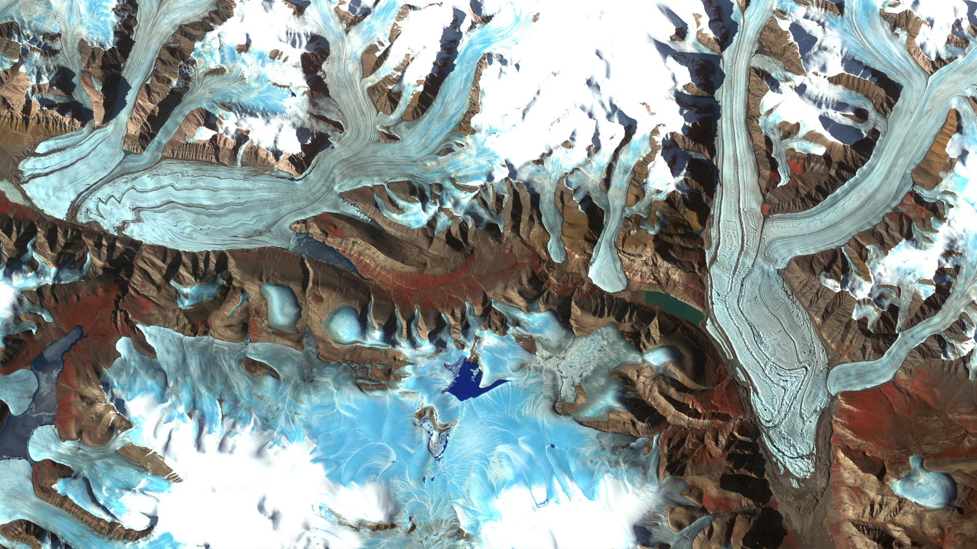
ASTER - Chapman Glacier