Connecting satellite data and insights to empower decision making
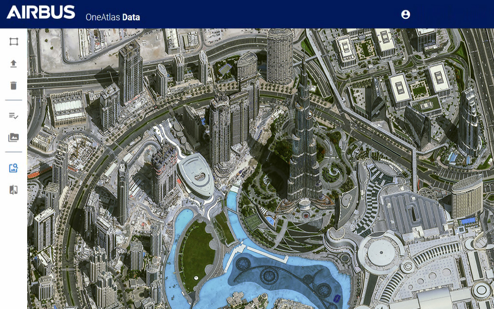
OneAtlas, from Airbus is a subscription-based platform that seamlessly integrates a comprehensive global satellite imagery database and intuitive interfaces. It empowers users with advanced analytics capabilities across various formats.
Within OneAtlas, an exceptional collaborative environment emerges, providing effortless access to premium imagery at a range of resolutions from 30cm to 1.5m, extracting industry-specific insights, and leveraging Airbus' technology to fuel solution development.
Access to premium commercial satellite imagery
Accurate and powerful geospatial analytic services
Leverage the capabilities from the Airbus satellite constellation
Flexible subscription models based on usage
Quick and easy
Task satellites to easily get imagery when and where you need it.
Only pay for what you need
Stream and download only what you need.
Fresh data
Data is updated daily and immediately accessible.
Benefits of OneAtlas
- Comprehensive global coverage with daily updates of satellite imagery
- Intuitive and user-friendly interface designed for both technical and non-technical users
- Flexible subscription models based on usage, accommodating individual users or multiple users
- Robust cyber security protocols ensuring advanced protection
- API synchronisation capability with any GIS platform for seamless integration
- Convenient high-resolution satellite imagery ordering function
- Rapid response times and frequent data refresh
- Multi-resolution optical archive available
- OGC compliant, adhering to industry standards
- Support for multiple streaming and download formats
Facilitating the connection between satellite data and empowering users with valuable insights
OneAtlas, bridging the gap between satellite imagery and real-world decision-making. Transforming visuals into valuable knowledge for impactful outcomes. If you believe a OneAtlas solution is a perfect fit for you and your company, we encourage you to reach out to the Geoimage team.